Pix4D
PIX4D is a professional photogrammetry and drone mapping software suite that transforms images into accurate 2D maps and 3D models.
Overview
PIX4D is widely used in industries that rely on precise spatial data. By processing thousands of images, it creates highly detailed and georeferenced outputs that can be used for analysis, measurement, and visualization. This allows professionals to gain actionable insights from aerial or ground data quickly and efficiently.
Core Features & Capabilities
Ideal for surveyors, engineers, construction teams, drone operators, and researchers who need accurate mapping, modeling, and geospatial analysis.
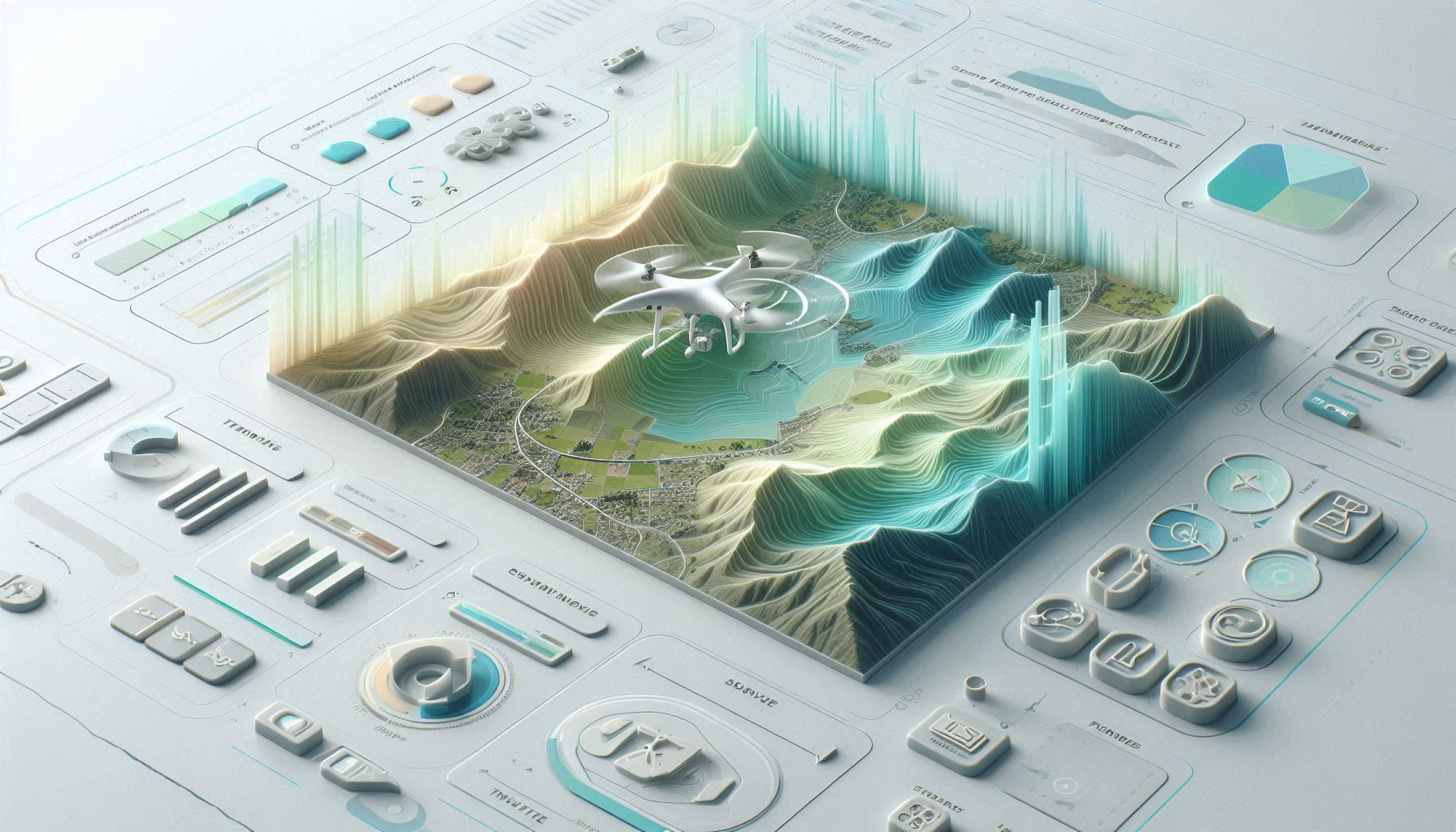
- convert drone or camera images into 2d maps and 3d models
- generate orthomosaics, point clouds, and terrain models
- measure distances, areas, and volumes with high precision
- integrate outputs into cad and gis workflows
- process data locally or in the cloud for scalable projects

Trending Use Cases
Why Professionals Choose PIX4D
Capture images using a drone or camera, upload them into PIX4D software, process the data into maps and models, analyze results, and export outputs for use in CAD, GIS, or reporting workflows.
“PIX4D transforms images into precise, actionable geospatial data.”
Getting Started with PIX4D
By combining advanced photogrammetry, cloud processing, and geospatial analysis tools, PIX4D enables professionals to extract accurate insights from imagery and apply them to real-world projects efficiently.
Open the tool and review its core product experience.
Create your account or access your existing workspace.
Use your own task to judge speed, quality, and fit.
Check similar AI tools before making a final decision.
Pix4D
PIX4D is a Swiss company specializing in photogrammetry software that converts images into precise maps and 3D models for professional applications.
PIX4D is a leading photogrammetry software platform that converts images captured by drones, cameras, or mobile devices into high-precision maps and 3D models. It uses advanced computer vision and photogrammetry algorithms to process aerial and ground imagery, generating outputs such as orthomosaics, point clouds, digital surface models, and 3D reconstructions. The PIX4D ecosystem includes multiple products for different workflows, such as PIX4Dmapper for desktop processing, PIX4Dcloud for online collaboration, and PIX4Dcatch for mobile 3D scanning. These tools cover the full pipeline—from data capture to processing and analysis—making it a comprehensive solution for geospatial and mapping tasks.
www.pix4d.com/
Comments (0)
No Comments Found