Terraink
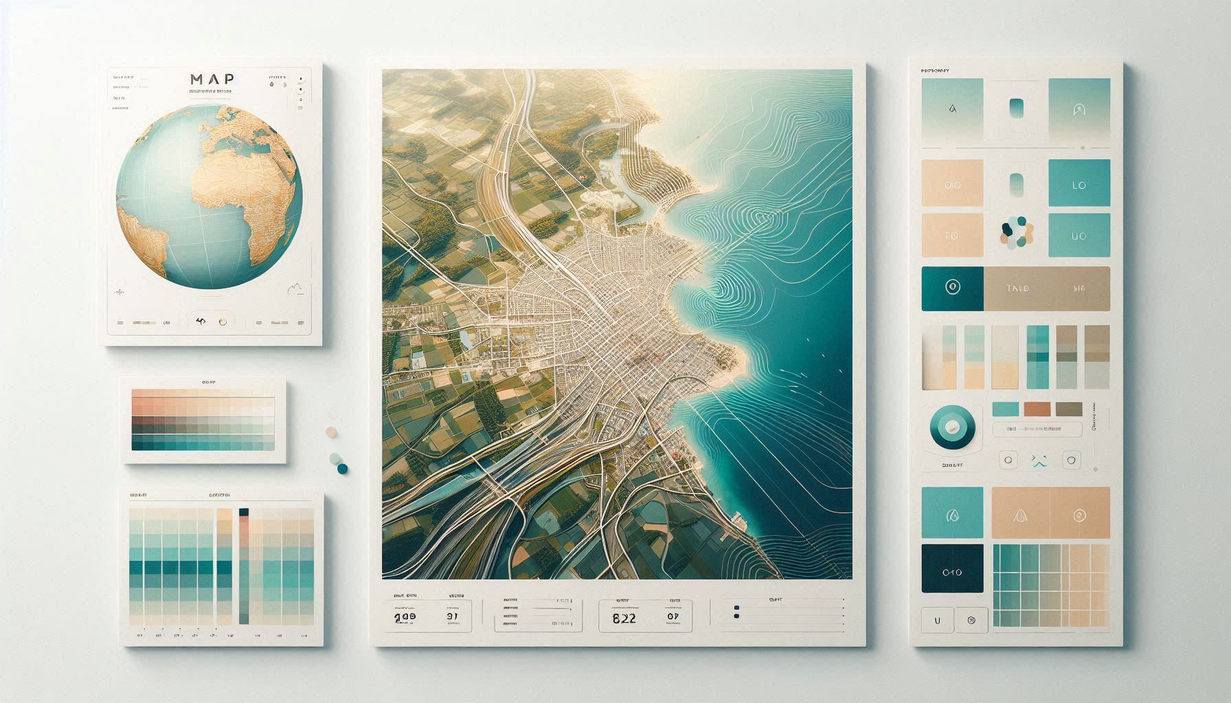
Terraink is an open-source browser-based tool that generates customizable map posters and cartographic visuals from real-world geographic data.
Overview
Terraink simplifies map creation by turning geographic data into beautiful visual outputs with just a few clicks. Users can generate minimalist or highly detailed map designs, customize styling elements, and produce print-ready visuals without needing GIS expertise. Its fully client-side approach ensures a fast and seamless experience, making it ideal for both casual users and professionals.
Core Features & Capabilities
Ideal for designers, content creators, architects, educators, and anyone who wants to create map-based visuals, posters, or geographic artwork quickly and easily.
- generate map posters for any location in the world instantly
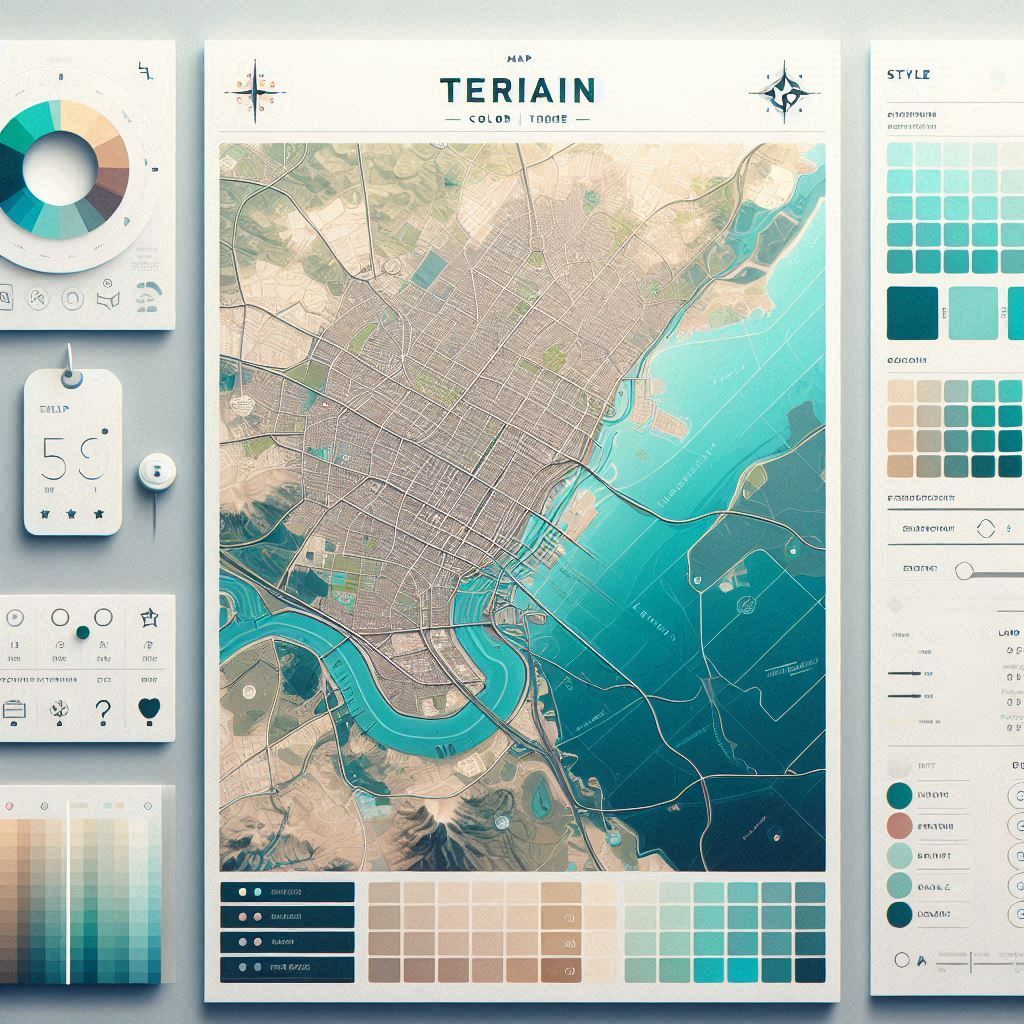
- customize map styles including colors, land, water, and labels
- use typography tools to create visually appealing map designs
- export high-resolution images ready for print or digital use
- create cartographic visuals directly in the browser without setup
Trending Use Cases
Why Users Choose Terraink
Open Terraink in your browser, search for a location, and customize your map using available styling options. Adjust colors, labels, and layout, then export your final design as a high-resolution image for print or digital use.
“Terraink makes cartographic design accessible by turning complex map data into simple visual workflows.”
Getting Started with Terraink
By combining real-world geographic data with intuitive design controls, Terraink allows users to create professional-quality map visuals quickly and without technical barriers.
Open the tool and review its core product experience.
Create your account or access your existing workspace.
Use your own task to judge speed, quality, and fit.
Check similar AI tools before making a final decision.
Terraink
Terraink is an open-source cartographic design tool that enables users to generate customizable map posters directly in their browser.
Terraink is a lightweight, open-source web application that allows users to create high-quality map posters directly in their browser. It uses global geographic data to render visually appealing maps with customizable styles, colors, and typography. Unlike traditional GIS tools, Terraink requires no installation or technical setup—users simply select a location, adjust styling options, and export their design instantly. It is built for accessibility, making cartographic design available to designers, creators, and anyone interested in map-based visuals.
terraink.app/
Comments (0)
No Comments Found