

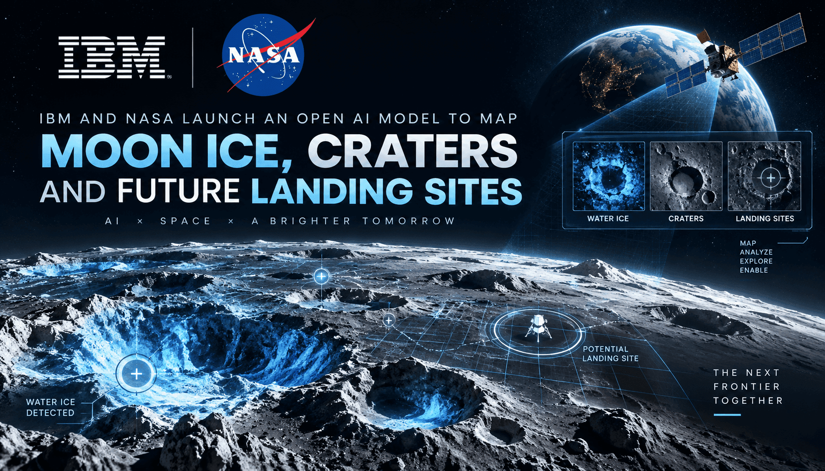
IBM and NASA have introduced an open lunar foundation model built to map surface ice, identify crater hazards, and prioritize candidate landing sites—moving foundation models squarely into scientific and operational planning. Rather than another language demo, this release bundles geospatial understanding: it ingests orbital imagery, elevation models, and spectral cues to output decision-ready layers. For space agencies, defense programs, and commercial landers, the significance is speed and standardization. Site selection that once required bespoke analyses can be triaged with consistent inference, uncertainty estimates, and reproducible data lineage—creating a common operating picture for polar exploration and surface mission design.
The technical shift is subtle but important. Geospatial foundation models pretrain on vast, heterogeneous datasets to learn spatial-semantic features—illumination patterns, regolith textures, slope discontinuities, and spectral hints of volatiles—then adapt to tasks like ice probability mapping or hazard scoring with little supervision. This approach reduces hand-tuned pipelines that often break under new lighting, sensor angles, or terrain. It also supports zero- or few-shot generalization from equatorial regions to permanently shadowed craters, where classical methods struggle. The open release invites external benchmarking, cross-mission validation, and plug-in evaluators for uncertainty, making it easier to compare against baselines and fold results into mission design reviews.
Strategically, this converts lunar remote sensing into a software-defined capability. Commercial landers can use model outputs to narrow landing ellipses, de-risk descent paths, and target science or ISRU drills with better priors—while agencies gain transparent, auditable layers for board-level decisions. Investors should note the downstream market: mapping-as-a-service, hazard intelligence, and autonomous navigation updates as new orbital data arrives. Procurement teams, meanwhile, should treat the model as a decision-support tier: require traceable data lineage, versioned weights, and validation against ground truth or cross-sensor corroboration before any flight-critical use. The winners will be integrators who pair this model with rigorous uncertainty handling and mission-specific constraints.